Services
Services
What is Special
Franchise Mission
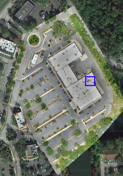
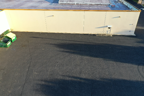
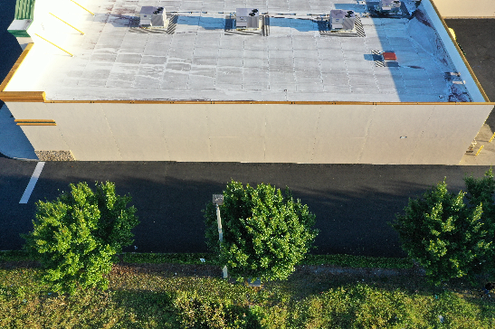
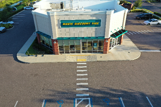
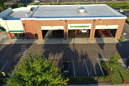
At MyDroneOp we specialize in collecting aerial data that allows our partners to view and track every square inch of their property. With our Standard Drone Mission we give our franchise clients the ability to view, explore, and track the integrity and quality of their properties, buildings, entrances at a level not possible until now. With our commercial grade drones, vetted professional pilots and intuitive customizable software, we give our partners an all-inclusive, birds’ eye view that helps identify needed repairs, regulate integrity, create yearly budgets, locate safety hazards, create a timeline of their property and most importantly, our services save our partners time and money.
The Franchise Mission Consists of the following Reports:
- Orthomosaic Map Report (OMR)
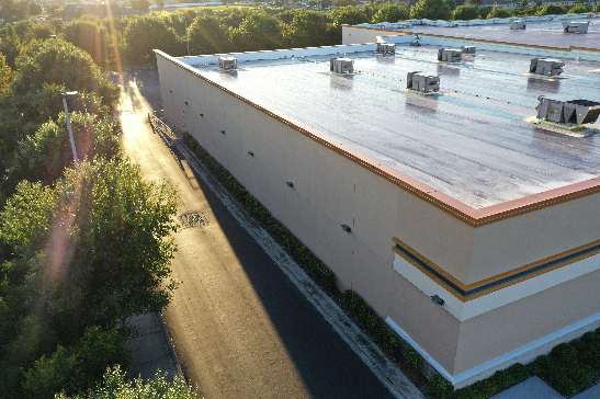
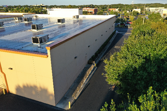
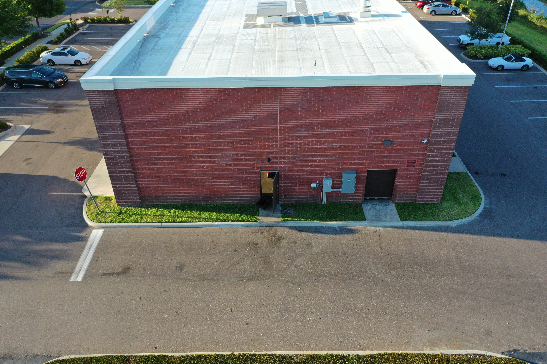
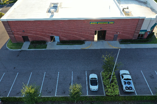
- Building Photo Report (BPR)
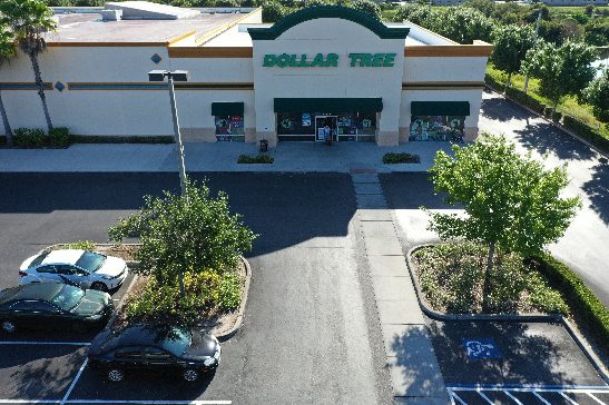
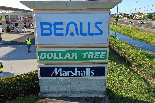
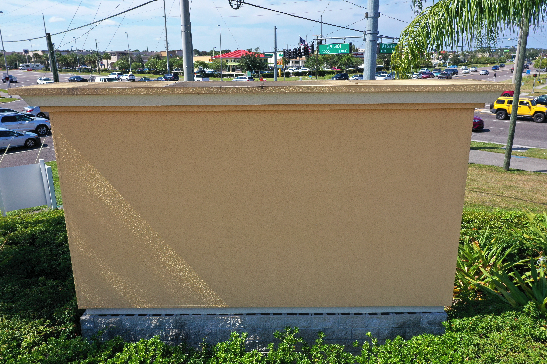
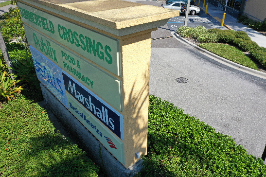
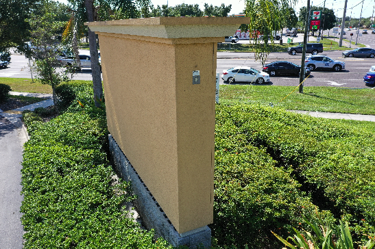
- Signage Photo Report (SPR)
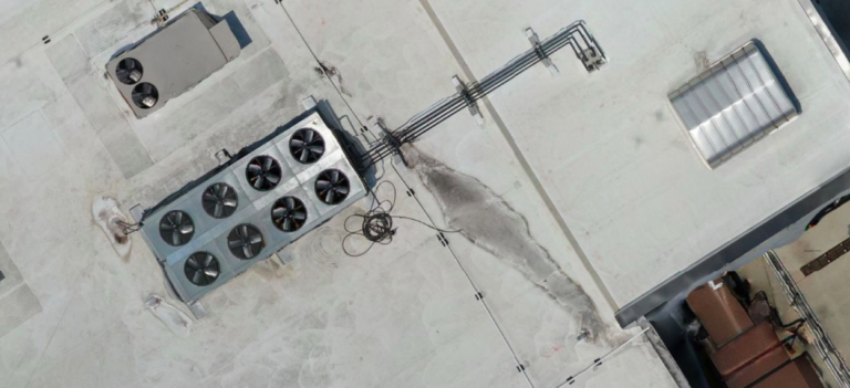
- Rooftop Photo Report (RPR)
- Property Video Report (PVR)
- Panoramic Property Report (PPR)
Real Estate Development Mission
Our drones have the ability to collect elevation readings that give our partners an accurate and updated terrain overview of a property they may be interested in. Using our software; this also includes a 3D rendering of the property, which makes it easier for our partners to decide which properties meet their investment criteria.
The Real Estate Development Mission Consists of the following Reports:
- Topographic Mapping Report + 3D Model (TMR)
- Traffic Tracking Report (TTR)
- Sign Visibility Report (SVR)
- Land Disposition/Acquisition Report (LDAR)
Construction Mission
We have developed a product perfect for collecting aerial data of your construction site. Using our drones, skilled pilots and software we are able to give our partners in the construction industry the ability to seamlessly view every inch of their site without having to be there. With our software every image is date stamped and can be annotated on with our suite of intuitive tools. Our interface gives our partners the ability to apply notes to images, annotate on photos and track site progression over time with our side by side comparison tool.
The Construstion Mission Consists of the following Reports:
- Orthomosaic Map Report (OMR)
- Construction Tracking Report (CTR)
- Property Video Report (PVR)
- Panoramic Property Report (PPR)
- Emergency Flyover Report (EFR)
Insurance Mission
At MyDroneOp we are have the ability to aid insurance companies in tracking the integrity of their client’s properties and assets. We can supply our insurance partners with high resolution, time stamped visual data that can be used to more accurately decide whether an insurance claim is the responsibility of the insurance company or the client. Our Insurance partners also find this technology critically important during their underwriting process. Our professionally collected drone footage combated with our software allows our partners in the insurance field to annotate, notate, use our side by side comparison tool or refer to our date stamping on any project flown, whenever a claim is made.
The Insurance Mission Consists of the following Reports:
- Orthomosaic Map Report (OMR)
- Building Photo Report (BPR)
- Property Video Report (PVR)
- Rooftop Photo Report (RPR)
- Emergency Flyover Report (EFR)
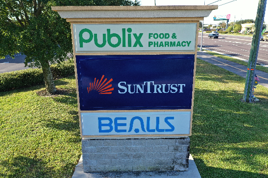
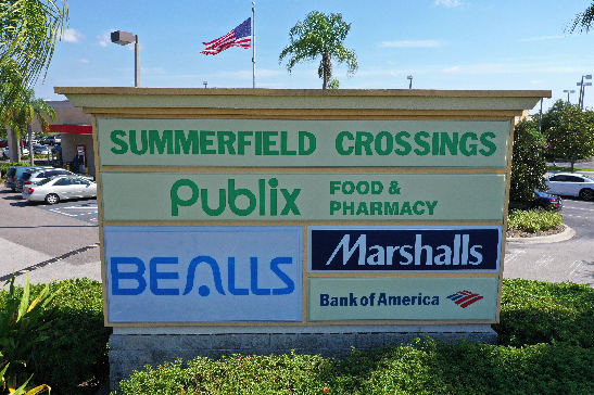
Featured Report: LDA Report
Our Land/Disposition/Acquisition Report (LDA Report) is a video report collected using our drones and skilled pilots of a 1 mile radius around a potential development location. With this product our partners can have a bird’s eye view of everything within one mile of their potential location, identifying things like traffic, competitors and people generators.

CALL MYDRONEOP TODAY
(813) 523-3978
Click on the image to Download the View From Above Aerial Idea Guide, so you can
see for yourself how amazing your business will look to your customers
and prospects using custom aerial photography
from MyDroneOp!